Ludwigia Monitoring by Drone: Use of Drone to Detect Distribution of the Invasive Plant Ludwigia in the Laguna de Santa Rosa
Project Date
:
Spring 2022
Faculty
Departments
Partners
Students
- Robert Bisordi
- Ellyse Cappellano
- Molly Clemons
- Yessica Martinez
- Sophia Pruden
- Nicholas Royer
- Eric Woodruff
Locations
Project Topics
Funding Sources
Abstract
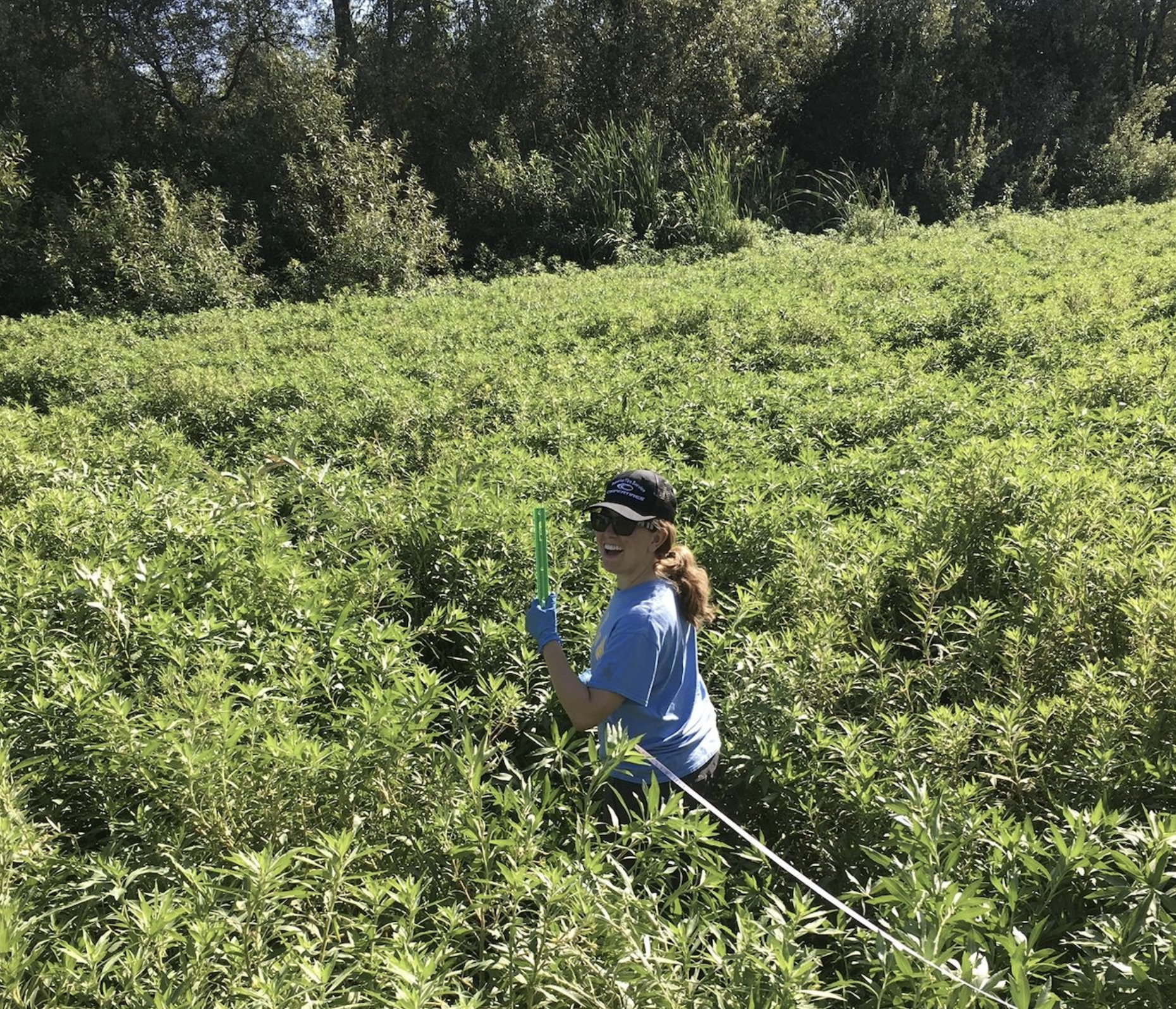
The invasive aquatic plant Ludwigia has become an increasing problem within the Russian River watershed, and particularly in the Laguna de Santa Rosa. It outcompetes native plant species, hinders flood control, serves as prime habitat for mosquitos, and impedes the migration of anadromous fish, such as salmon and steelhead trout. The purpose of this project is to establish a method for using drone imagery to map the distribution of Ludwigia in a section of the Laguna de Santa Rosa near Stony Point Road in Rohnert Park, CA. We will compare mapping of Ludwigia distribution using drone imagery to traditional on-the-ground Ludwigia mapping.
Results
| Title | Format | Download | Students |
|---|---|---|---|
| Ludwigia Monitoring by Drone | poster | Ludwigia Monitoring by Drone | Robert Bisordi, Ellyse Cappellano, Molly Clemons, Yessica Martinez, Sophia Pruden, Nicholas Royer, Eric Woodruff |
Key words: invasive species, software, ground mapping, creek, ArcGIS, Google Earth