Osborn weather station
Osborn weather station
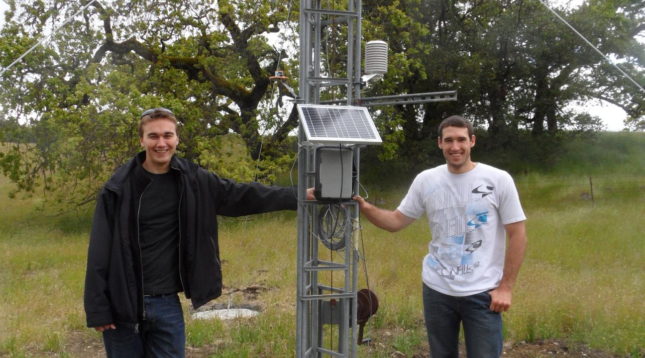
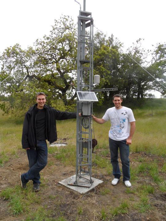
Unused sensors were donated by the Geography Department to the Center to serve as the basis for a new weather station at the Osborn Preserve. Two Engineering Science students took on the challenge of constructing a long-term weather station as their capstone project. Project goals included transmitting data wirelessly to the base station, easy to read LabView interface, robust and reliable outdoor system, self-sufficient power, data storage for extended periods of time, compliance with EPA standards for climate measurements, and long system lifespan.
The weather station tower was installed using Campbell Scientific guidelines (UT20 and UT30 Tower-based Weather Stations. Copyright © 1993-2010 Campbell Scientific, Inc.). Weather sensors and transmission equipment is powered using solar panels, homemade wind generator, and a 6V 4.5 Ah Universal battery. Upon installation sensors were over 15 years old but had never been removed from their shipping boxes. Each sensor was tested before installation using manufacturer guidelines:
- Solar Radiation - WEATHERtronics’ Star Pyranometer Model 3020
- Rain Gauge - DataLynx Instruments Tipping Bucket Model 260-300; accurate to within ± 3% with precipitation of 1-60 inches per hour
- Wind Speed and Direction: Young Model 05103 Wind Monitor; accurate to within 2.2 mph up to 130 mph; 360º range accurate to within 5º
- Air Temperature - Microchip Temperature Sensor MCP9701; enclosed within Young Model 41002 Gill Multi-Plate Radiation Shield
- Barometric Pressure -
- Humidity - installed within Young Model 41002 Gill Multi-Plate Radiation Shield
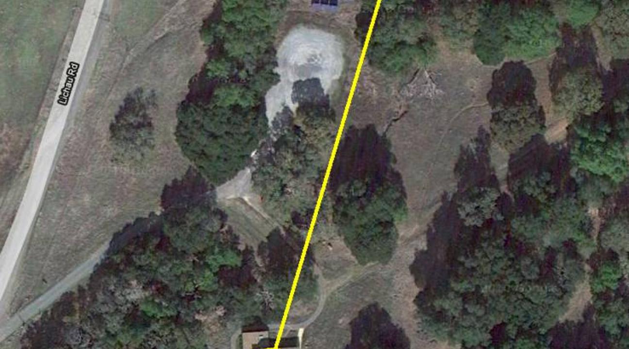
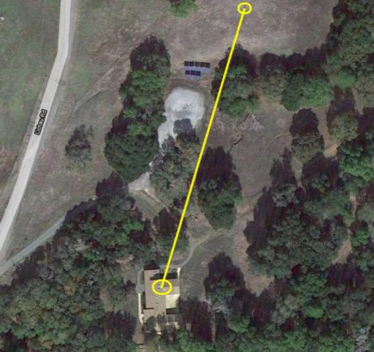
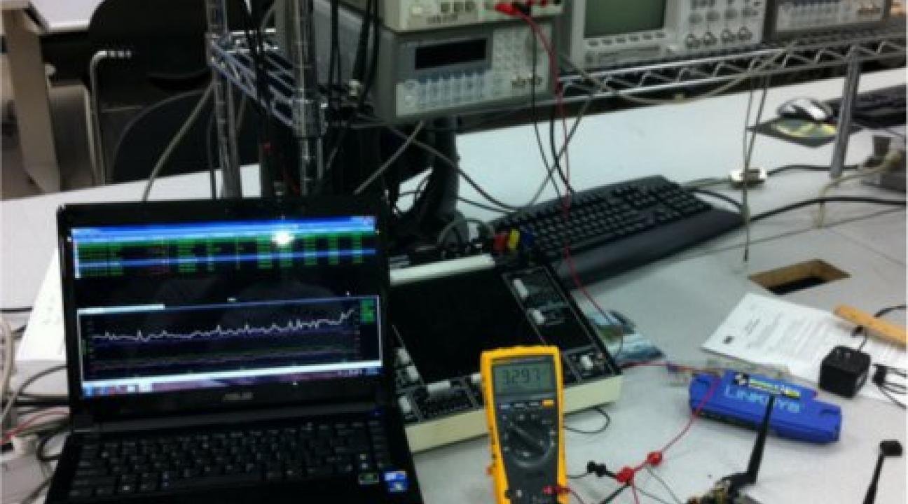
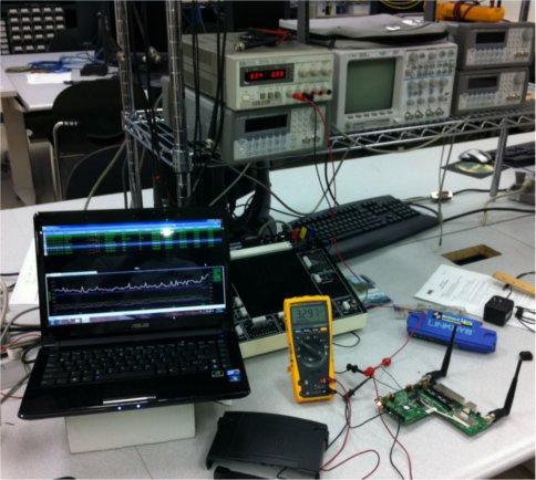
Data are transmitted from the weather tower to a computer housed in the Marjory Osborn Research and Education Center. All the data are saved in .xls files and plotted locally using LabVIEW. To make data available on the internet, files from the Osborn computer are downloaded manually using TeamViewer and then postprocessed using AWK, Python, and Shell Scripting to fix the time format and remove invalid data. Data are then uploaded into a Google Spreadsheet in Google Document and Google Chart is used to plot variables (e.g., Temp, Rain). (To learn more about weather station system hardware and processes used to test the circuitry for reliability and accuracy, refer to FOCS Weather Station).
| Title | Format | Download | Students |
|---|---|---|---|
| Fairfield Osborn Climate Station | report | Fairfield Osborn Climate Station project description | Kyler Connelly, Chris Dennison |
| Weather data May-June 2012 | data | Osborn weather station May-Jun 2012 | Kyler Connelly, Chris Dennison |
Project Date:
2010 to 2011
Faculty:
- Farid Farahmand
- Mohammed Haider
Departments:
- Engineering
- Geography
Partners:
- Center for Environmental Inquiry
- Department of Engineering
- Department of Geography
Students:
- Capstone project
Locations:
- Fairfield Osborn Preserve
- Sonoma County
Project Topics:
- Climate
- Technology
Funding Sources:
- Center for Environmental Inquiry
- Geography Department


