Remote sensing for water quality
Remote sensing for water quality
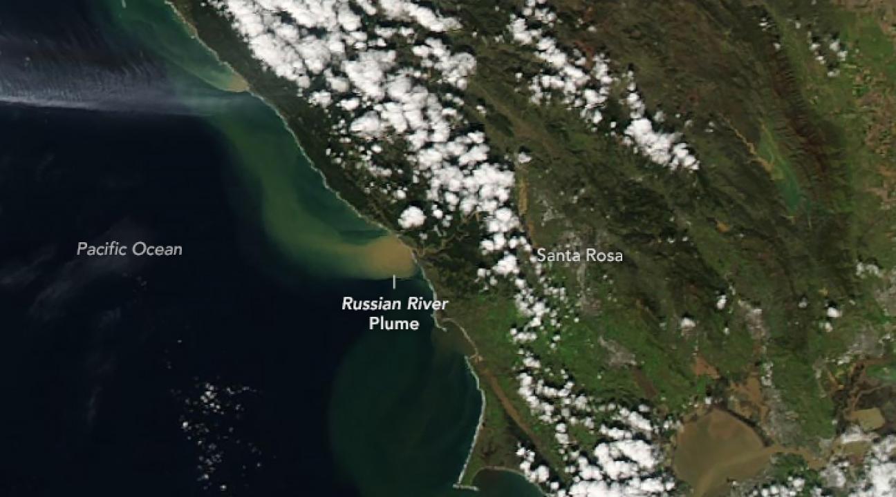
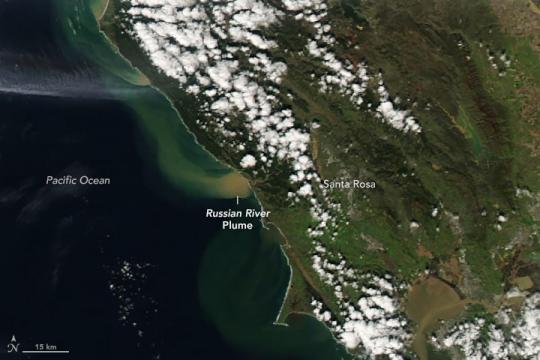
Remote sensing is an alternative to the traditional method of field sampling, which requires a great deal of time that is not easy for undergraduates to work into their schedule. We are thus exploring remote sensing as an alternative. Typically, remote sensing is used to find chlorophyll and NDVI (Normalized Difference Vegetation Index), but a variety of techniques are used for other water quality parameters. By obtaining NASA Landsat imagery it is possible to make a valid quantification of the amount of chlorophyll in any body of water. We examined whether satellite data can be used to monitor water quality in local watersheds. This data can be shared with other departments on campus who would be interested in analyzing remote sensing, and gives us a way to see historic and future changes in water quality without needed to travel to collect samples. Remote sensing data is generously provided by planet.com.
| Title | Format | Download | Students |
|---|---|---|---|
| "Exploration of Remote Sensing for Water Quality" | poster | E-mail [email protected] | Matthew Haynie |
| "Application of Landsat imagery for the quantification of Chlorophyll" | poster | E-mail [email protected] | Matthew Haynie |
Project Date:
2018 to 2019
Faculty:
- Mark Perri
Departments:
- Chemistry
Partners:
- NASA
- Planet.com
Students:
- Special studies
Locations:
- Mendocino County
- Sonoma County
- Other Location
Project Topics:
- Technology
- Water
Funding Sources:
- Waters Collaborative
- Nature!Tech


