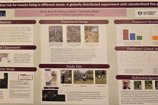
Is there a difference in species movement between the trails and the power line right-of-way at Fairfield Osborn Preserve?
Abstract
PLAD: Power Line Arc Detector
Abstract
The Impacts of Right-of-Way Management on Pollinators
Abstract
A study conducted by Bramble and Byrnes in 1952 on the east coast of the United States initiated interest in right-of-way (ROW) corridors and the impacts of their management on local flora and fauna. With over 50 years of extensive research and data provided on eastern ROW’s, Sonoma State University, in conjunction with Pollinator Partnership and Tree Fund, seeks to establish a western electric transmission ROW research network to investigate how ROW corridors can aid in conservation of native flora and fauna in the area.This collaboration, involving Tree Fund, SMUD, PG&E, Pollinator Partnership, and Sonoma State University works to study impacts of Integrated Vegetation Management to develop the best management practices, plant health, risk assessment, and training of the next generation of foresters. In this particular study, we aim to investigate the effects of ROW’s on pollinators. For the past three years, vegetation beneath right-of-ways has been managed through Integrative Vegetation Management (IVM), which can utilize a combination of chemical, biological, mechanical, and other methods. Vegetation management ensures that a low-growing plant community is established beneath the transmission lines in order to reduce the risk of fire and service obstructions. In addition, these rich shrubby and grassy plant communities can serve as habitats for many species, including native pollinators. Now in the fourth year of study at Fairfield Osborn Preserve, we are beginning to compare and contrast specific mechanical and herbicidal methods.For the past three years, vegetation beneath right-of-ways has been managed through Integrative Vegetation Management (IVM), which can utilize a combination of chemical, biological, mechanical, and other methods. Vegetation management ensures that a low-growing plant community is established beneath the transmission lines in order to reduce the risk of fire and service obstructions. In addition, these rich shrubby and grassy plant communities can serve as habitats for many species, including native pollinators. Now in the fourth year of study at Fairfield Osborn Preserve, we are beginning to compare and contrast specific mechanical and herbicidal methods.
Establishing a Western United States Vegetation Management Right-of-Way Research Network
Abstract
Unlike the east coast with over 50 years of observations. electric transmission right-of-ways (ROW) on the west coast have not been extensively studied. We seek to change that through the establishment of a Western United States Right-Of-Way Research Network. Specifically, we seek to investigate how ROW corridors can help conserve flora and fauna, while serving as locations for student involvement in research and education. The establishment of the network on the west coast is challenging due to California consisting of variable environments. Utilities manage ROWs through the use of "Integrated Vegetation Management" which includes both mechanical and selected herbicide application. The goal is to ensure a low-growing, stable plant community beneath the transmission lines to reduce the risk of fire and service interruptions. The low-growing plant communities serve as habitat and food sources or mammals, birds, reptiles, amphibians, and pollinators. Vegetation monitoring data will be collected with transect surveys to quantify variability between plots. Preliminary results indicate that pollinators use a mechanical plus herbicide ROW more frequently than unmanaged lands nearby.
Mobile Data Harvester
Abstract
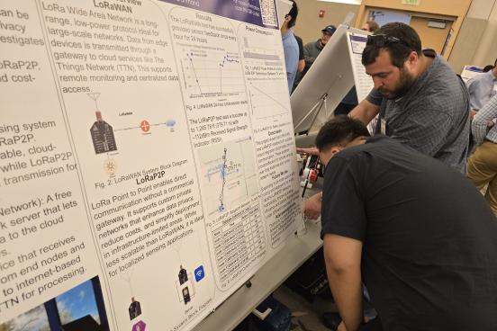
It is quite difficult to collect data from remote sensors on foot. The condition of the terrain may affect someone who may have placed a sensor in hard to reach areas. In this project we will develop a system that will gather specific data (i.e. temperature, moisture or air quality) and send it back to the user. Our board will be placed on a drone so the user doesn’t have to make a trip to every sensor in the network because the drone will make the trip for them. Our board will be able to distinguish each sensor and we will develop unique algorithms to determine how it interacts with each sensor. After completing this project, our system will be deployed at one of Sonoma State’s nature preserves.